


 Telangana government is using the detailed Nizam-era village maps of the state to put the new state’s mandals on the country’s digital map. The Telangana State Remote Sensing Applications Centre (TRAC) had almost completed digitizing the survey maps of the State dating from 1934 for the Central government’s project ‘Special Information System Decentralized Planning’ (SISDP).
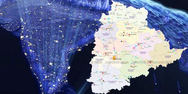
There were 10,851 maps of the Telangana region with the government. These maps are weathered with time and now are redrawn on cloth and then digitized. Using these maps as base, they were able to draw the boundaries of villages and mandals on the high resolution satellite imagery provided by National Remote Sensing Agency (NRSA).
These maps will be very useful to carry out various required physical surveys and geo-tagging exercise. Immediately these maps will come handy for the government in its flagship project, Mission Kakatiya.


